


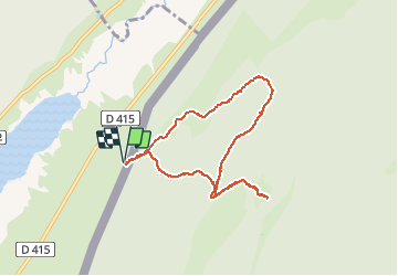


15.1 km | 21 km-effort

User


FREE GPS app for hiking
 SityTrail
IGN / Geographical institutes
SityTrail World
The world is yours!
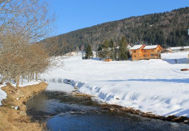
Trail Walking of 7.8 km to be discovered at Bourgogne-Franche-Comté, Jura, Les Rousses. This trail is proposed by PGregoire.
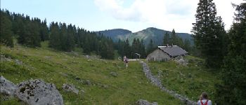
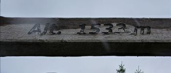
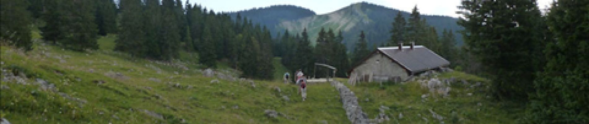
Cordes vocales et Chaussures de marche 2012. Ballade n°4 Jeudi 26 Juillet : Le Crêt des Danses


Walking

Walking

Walking

Walking

Walking
On foot

Snowshoes

Walking
Bicycle tourism